NavLive: Real-Time 3D Scanning for the Construction Industry
What does your organisation do? What is one unique thing people should know about your organisation that is not on your website?
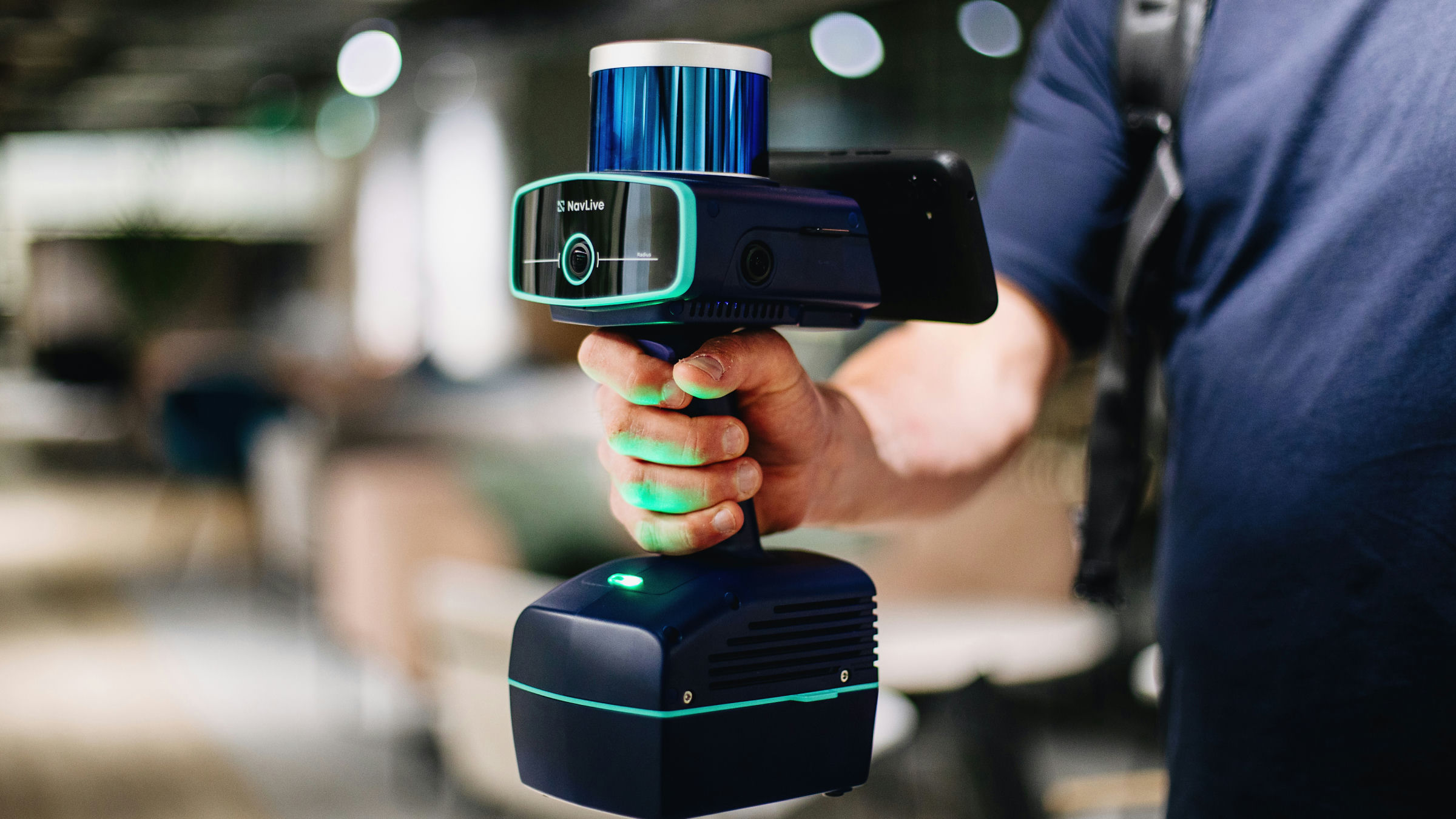
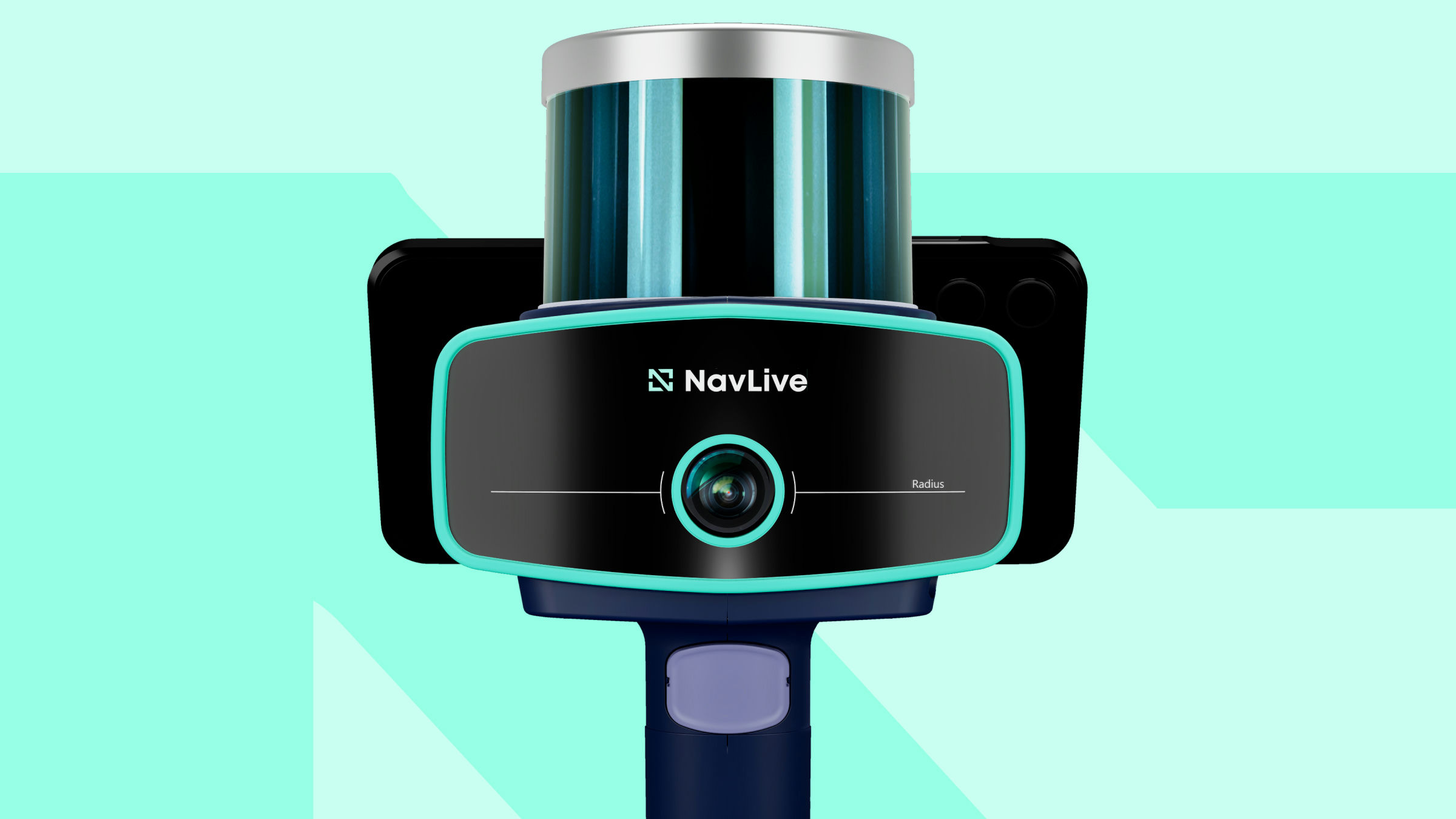
NavLive provides advanced 3D scanning technology for the architecture, engineering and construction industry. Our scanner captures highly accurate building data in real time, allowing construction professionals to document existing conditions, reduce surveying time, and eliminate costly rework.
What people often don't realise is just how easy NavLive is to use. Anyone can start scanning with minimal training. There's no complex setup, specialist operator, or lengthy post-processing required. All processing happens directly on the Scanner, so as you walk through a site, you can see a live 3D model building in front of you in real time. There's no waiting to get back to the office to find out if the data worked, what you see on site is what you get. It turns reality capture from a technical task into something any project team can confidently pick up and use.
Why did you choose to build in Oxfordshire? What is your connection to Oxford/Oxfordshire?
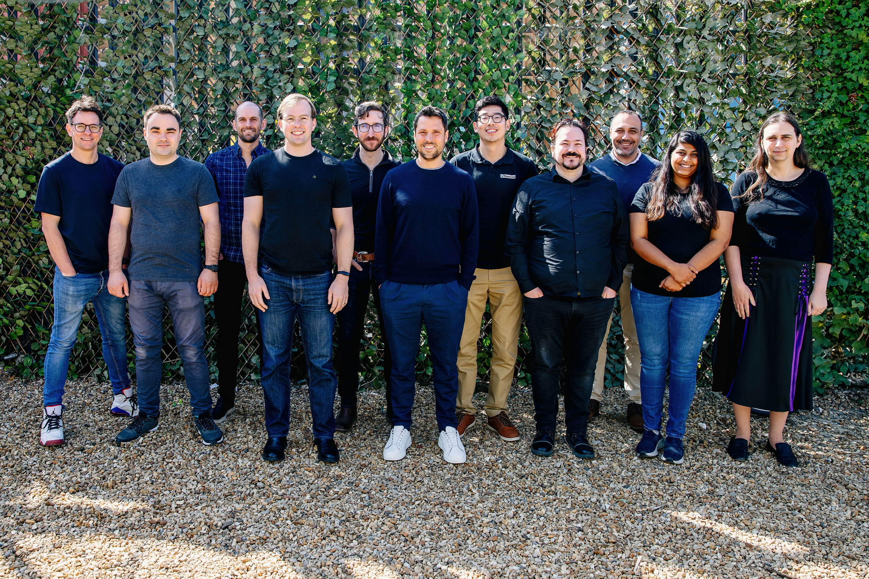
NavLive's roots are in Oxford. Our co-founder, Dr David Wisth, completed his Ph.D. in Robotics at the University of Oxford, and NavLive began as part of his original research. What started as an academic innovation has grown into a commercial product now used by customers around the world.
We chose to build in Oxfordshire because of its exceptional depth of technical talent, particularly in robotics, computer vision and engineering. Today, our team includes four additional PhDs, and we continue to design, develop and refine our Scanner from our Oxford base while serving an international market. The region's strong ecosystem of research, technology and entrepreneurship has been instrumental in our journey from lab research to real-world impact.
What big problem are you trying to solve, and why does it matter?
The big problem we're solving is inefficiency and inaccuracy in capturing real-world building data. Traditional surveying and reality capture methods are slow, require specialist skills, and often leave teams waiting days or weeks to see if the data is usable. Mistakes or missed details at this stage can lead to costly rework, project delays, and wasted resources.
NavLive matters because it turns this process on its head. Our Scanner allows anyone to capture accurate 3D models in real time, with all processing happening on the device. Teams can walk a site and instantly see a complete digital model, making it easy to spot issues immediately and make informed decisions on the spot. By simplifying reality capture and putting it directly into the hands of project teams, we save time, reduce errors, and help projects run more smoothly from start to finish.
How can you support — or be supported by — the Oxfordshire ecosystem?
NavLive both contributes to and benefits from the Oxfordshire ecosystem by being part of its vibrant technology and research community. We draw on local expertise, particularly in robotics, computer vision, and engineering, to continually develop and refine our Scanner.
At the same time, we are always looking for amazing local talent to join our team, providing opportunities for skilled individuals to work on cutting-edge reality capture technology and be part of a fast-growing, globally focused company.